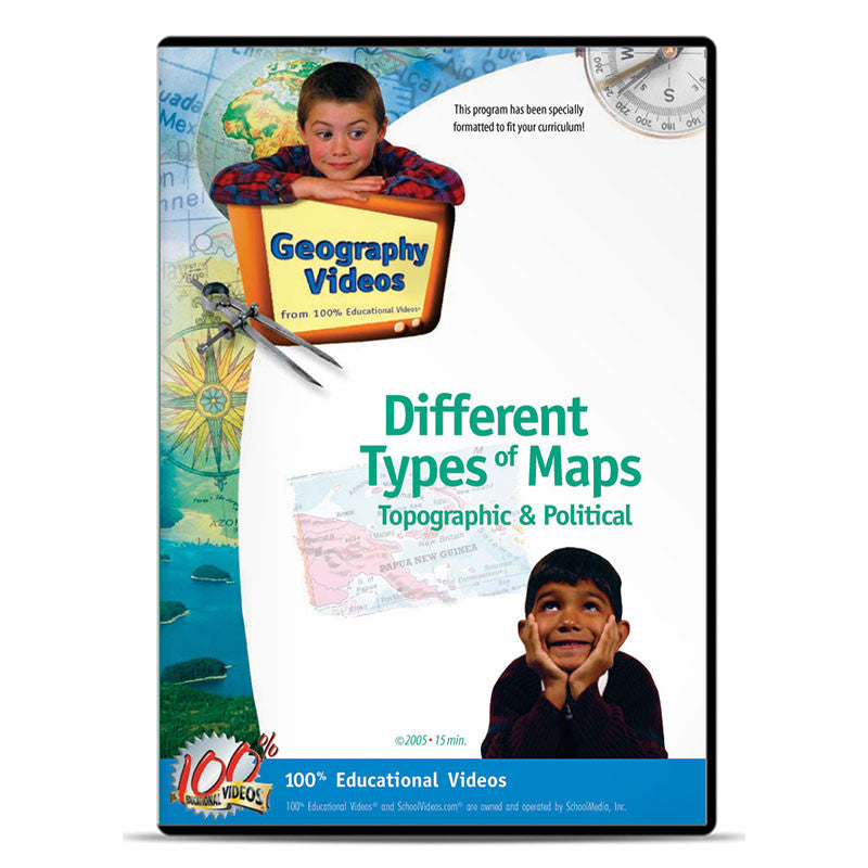
Different Types of Maps: Topographic, Political…
Item#
$ 29.95
$ 109.95
Students learn about the different projections possible to represent the round Earth on a flat surface and the various kinds of information displayed on maps. Map types covered include political, physical, relief, climate, vegetation and more. Combining the latest technology with visual images supplied from around the world, this program takes difficult material and provides the student with easy-to-understand visual presentations.
Item#: G9023
ISBN#: 978-1-58541-498-7
Grades: 4-8
Runtime: 17 min.
Item#: G9023
ISBN#: 978-1-58541-498-7
Grades: 4-8
Runtime: 17 min.
Related Tags:
Download + License Appendix
DWN - DOWNLOAD
Available in Quicktime (H.264). This high resolution format is licensed for use by a single educator in an educational setting. No transfer of rights or copies permitted. Download link will be available for one year.
DL3 - DIGITAL LICENSE (3-Year)
Pricing is for a (3) five year license for a single (1) site location. Host on a LAN or make copies for individual teachers. For renewals or multi-site licensing, please call 800-483-3383.
DL5 - DIGITAL LICENSE (5-Year)
Pricing is for a (5) three year license for a single (1) site location. Host on a LAN or make copies for individual teachers. For renewals or multi-site licensing, please contact us. Classroom use only.
Related Titles

