Reading Maps and Globes: Identifying Land, Water, Places -
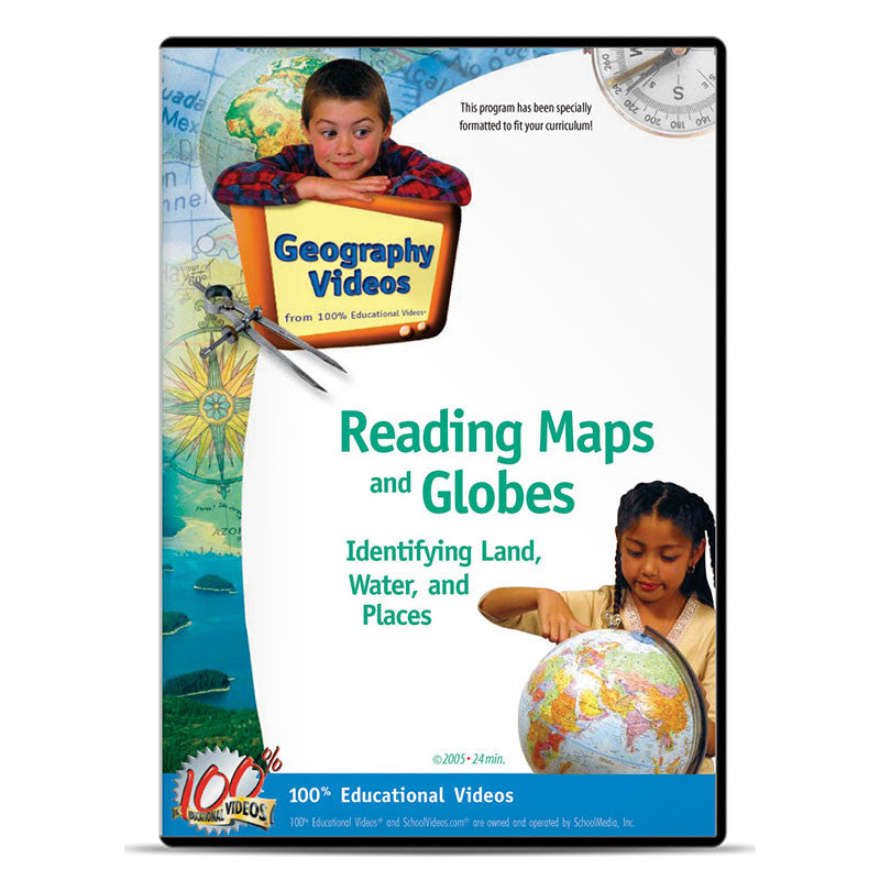
Reading Maps and Globes: Identifying Land, Water, Places Preview
Loading Preview...
Reading Maps and Globes: Identifying Land, Water, Places
Item#
$ 29.95
$ 39.95
Students review the compass rose and add intermediate directions to their understanding as they locate continents, oceans and the equator on a map. Mental maps and the grid map are also reviewed and expanded with simple parallels and meridians. Students will locate major countries and use scale to trace travel routes, determine distance between locations, and introduce new visuals to their understanding of mental maps. By locating the Regions of the United States and the Native American tribes that called them home the ideas behind cultural geography are simply introduced. Students locate lakes, rivers and mountains on a new introduction, the landform map. Reading Maps and Globes is the perfect transition to Using Maps and Globes.
Item#: G9019
ISBN#: 978-1-58541-494-9
Grades: 3-7
Runtime: 24 min.
Item#: G9019
ISBN#: 978-1-58541-494-9
Grades: 3-7
Runtime: 24 min.
Download + License Appendix
DWN - DOWNLOAD
Available in Quicktime (H.264). This high resolution format is licensed for use by a single educator in an educational setting. No transfer of rights or copies permitted. Download link will be available for one year.
DL3 - DIGITAL LICENSE (3-Year)
Pricing is for a (3) five year license for a single (1) site location. Host on a LAN or make copies for individual teachers. For renewals or multi-site licensing, please call 800-483-3383.
DL5 - DIGITAL LICENSE (5-Year)
Pricing is for a (5) three year license for a single (1) site location. Host on a LAN or make copies for individual teachers. For renewals or multi-site licensing, please contact us. Classroom use only.
Related Titles
On Sale
On Sale
On Sale
On Sale

